NATIONAL GEO MAPS–national geo maps buffalo national river east half-233
$14.95 Original price was: $14.95.$10.47Current price is: $10.47.
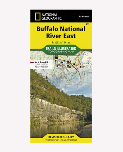
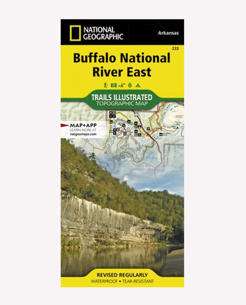
Flowing freely for 153 miles in northern Arkansas, the wild and fully protected Buffalo River was the first National River to be designated in the United States. Expertly researched and created in partnership with the National Park Service and others, National Geographic’s Trail Illustrated map of Buffalo National River East provides extensive detail of the middle and lower sections of the river as well as the surrounding areas. Shown with mileage markers, the map’s coverage of the river begins at mile 66, just before Mount Hersey, and follows the river to its confluence with the White River at mile 153. Pinpointed along the way are river access points, campgrounds, visitor centers, parking areas and other facilities and recreational points of interest.
Only logged in customers who have purchased this product may leave a review.
Related products
HYDRO FLASK
PATAGONIA
THE NORTH FACE
THE NORTH FACE





what our customer say this product:
There are no reviews yet