NATIONAL GEO MAPS–national geo maps absaroka-beartooth east #722-603350
$14.95 Original price was: $14.95.$10.47Current price is: $10.47.
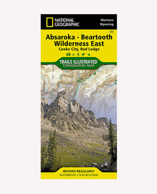
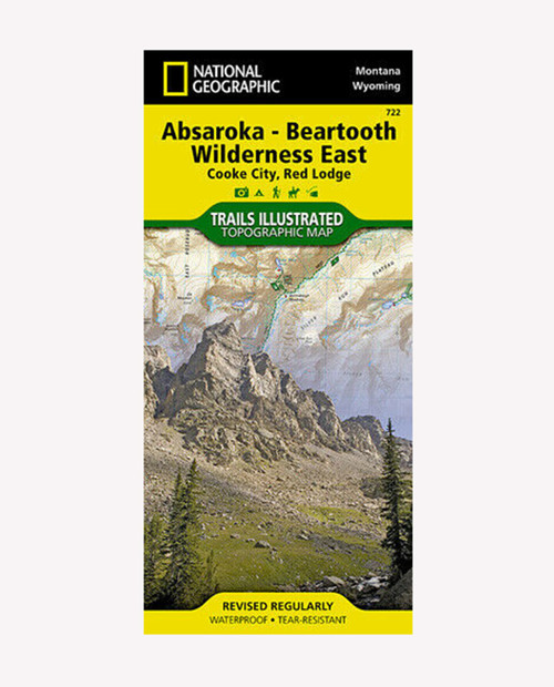
National Geographic’s Trails Illustrated map of Absaroka-Beartooth Wilderness East delivers unmatched detail and valuable information to assist you in your exploration of this breathtaking wilderness. The area’s unique terrain, with snowcapped peaks, glaciers, alpine lakes and plateaus is the map’s core feature, with detailed elevation contours, shaded relief, vegetation, and water features. Expertly researched and created in partnership with local land management agencies, the map features key points of interest including East Rosebud; Mystic Lake; Stillwater River; Cooke City; Red Lodge; Beartooth Highway Scenic Byway; and portions of Gallatin, Custer, and Shoshone national forests.
Only logged in customers who have purchased this product may leave a review.
Related products
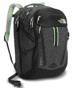
THE NORTH FACE
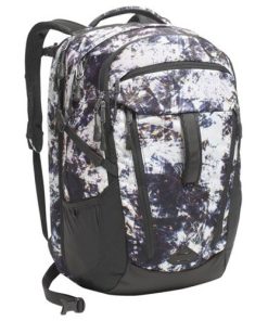
THE NORTH FACE
HYDRO FLASK
THE NORTH FACE










what our customer say this product:
There are no reviews yet