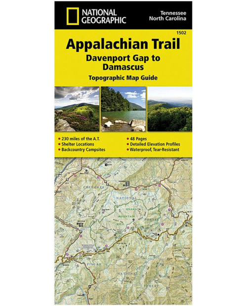
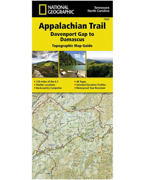
NATIONAL GEO MAPS-map-appalachain trail map – damascus nc/tn-603315
$14.95 Original price was: $14.95.$10.47Current price is: $10.47.
The Davenport Gap to Damascus Topographic Map Guide makes a perfect traveling companion when traversing the northeastern Tennessee and western North Carolina section of the Appalachian Trail (A.T.). The A.T. in northeastern Tennessee and western North Carolina mostly follows a high, crooked ridgeline across the Southern Appalachians, an area that is known for both its natural beauty and rich history. This mountainous section of trail, which is mostly contained within the Cherokee and Pisgah National Forests, travels across the uplands of the Tennessee Valley, through the scenic Roan Highlands, and along the high ridge that separates Tennessee and North Carolina, deep in the heart of the Appalachian Mountain Range.
Only logged in customers who have purchased this product may leave a review.
Related products
CASCADE DESIGNS
THE NORTH FACE
HYDRO FLASK
Western Mountaineering
Western Mountaineering-bag-ultralite 6ft 0in 20 degree bag-ULTRALITE_6_0


what our customer say this product:
There are no reviews yet