NATIONAL GEO MAPS–national geo maps shenandoah national park #228-603111
$14.95 Original price was: $14.95.$10.47Current price is: $10.47.
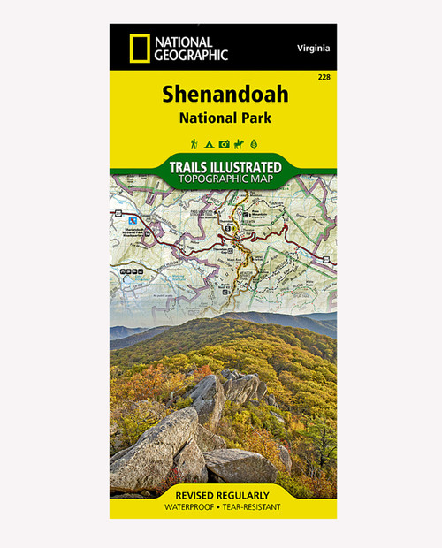
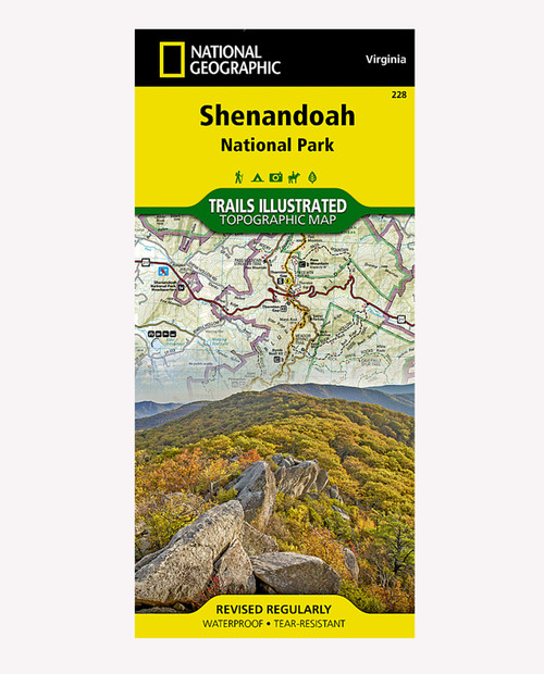
Expertly researched and created in partnership with local land management agencies, National Geographic’s Trails Illustrated map of Shenandoah National Park provides an unparalleled tool for exploring this beautiful park. Particular attention is shown to camping, hiking, fishing, ranger programs, and horse use in the park; and a handy chart of waterfalls provides height, location, hiking distance, and elevation gain for hikers. The print map includes insets of Loft Mountain, Mathews Arm _ Elkwallow, Skyland, and Big Meadows.
Only logged in customers who have purchased this product may leave a review.
Related products
HYDRO FLASK
THE NORTH FACE
CASCADE DESIGNS
Western Mountaineering
Western Mountaineering-bag-ultralite 6ft 0in 20 degree bag-ULTRALITE_6_0
Western Mountaineering
Western Mountaineering-bag-summerlite 6ft 6in 32 degree bag-SUMMERLITE_6_6






what our customer say this product:
There are no reviews yet